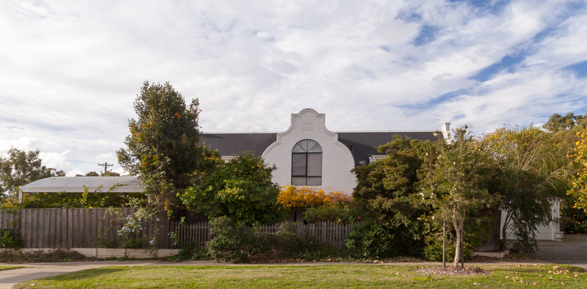
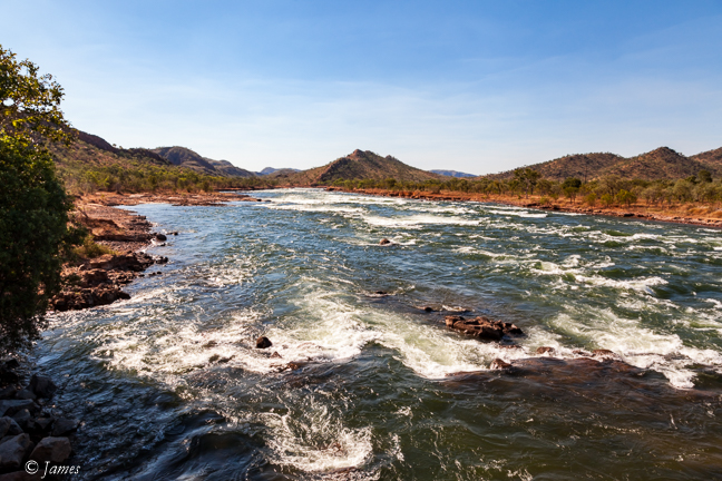
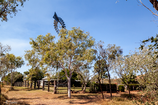
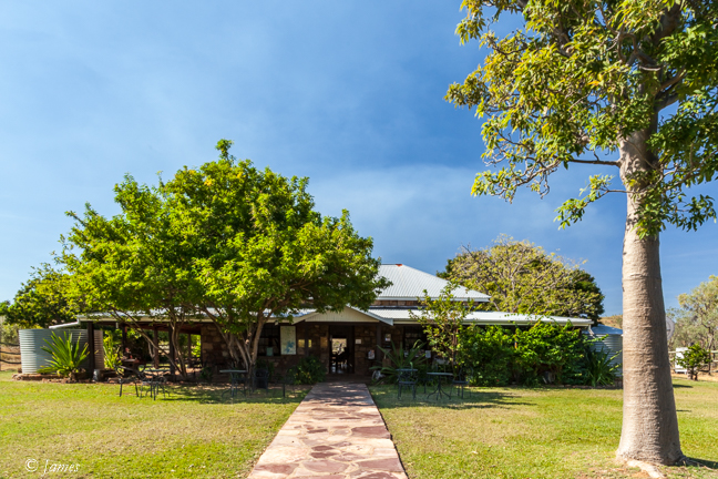
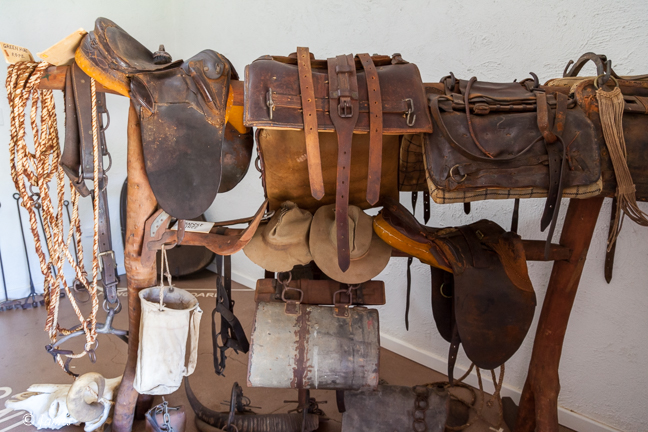
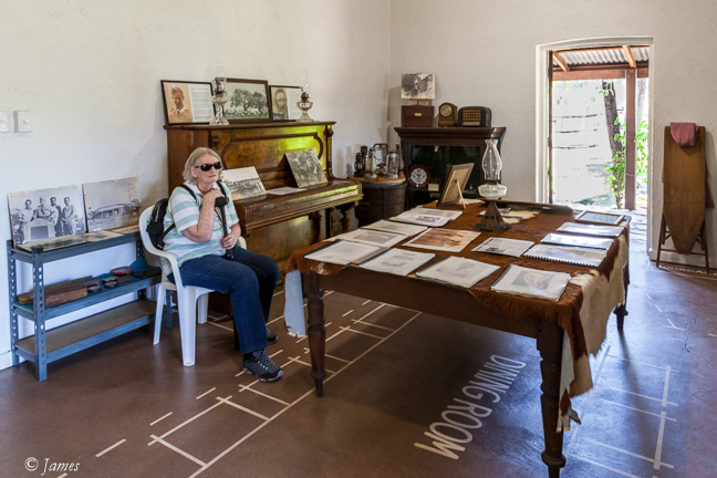
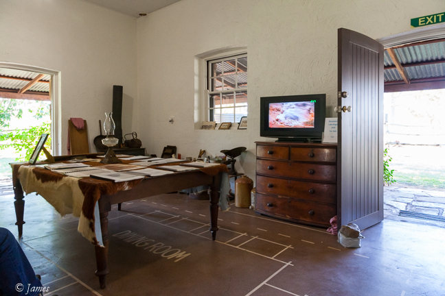
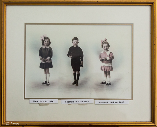
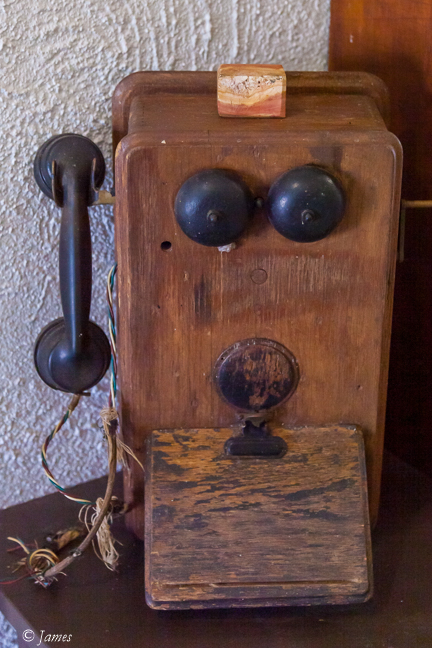
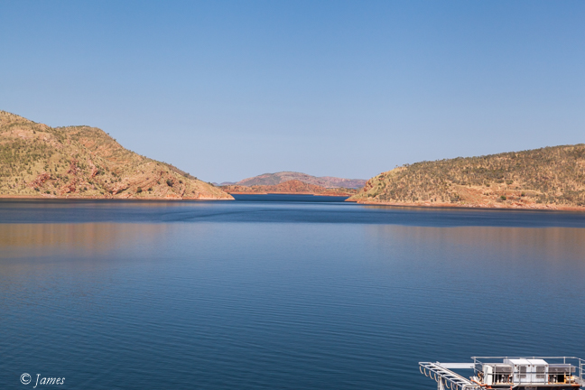
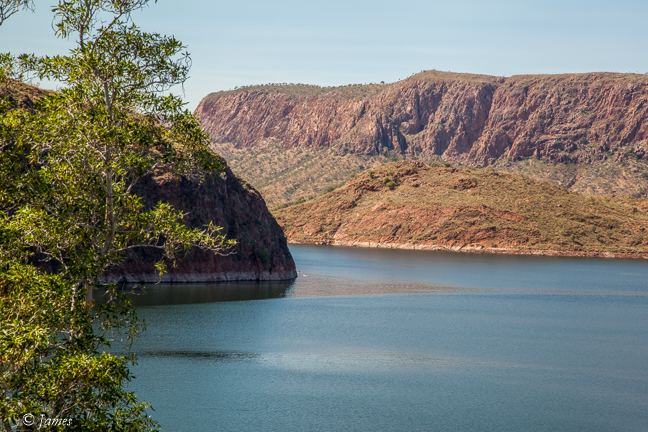
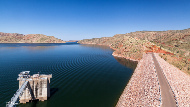
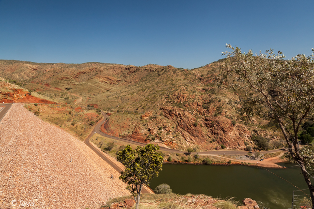
The Argyle Dam is a short drive from Kununura. Built in the early ‘70’s to add extra water to irrigate the large area below the Kununura dam, and to provide some hydro-electric power. It covers a vast area, to a maximum depth of 60m; waves can form in strong winds. This included much of the land owned by the Durack’s of Irish ancestry (1870), but the old stone homestead that had been a popular place for travellers, was moved to high ground near the dam. Worth an hour visit now to see how tough life was, as well view a video of the dam construction. A lovely photo of the Durack children caught my attention, as well as a party line phone. We had these in Rhodesia; a common line linked several of these on farms. Each farm was allocated a ring sequence like the Morse code ie short and long rings. It had the advantage of allowing for free calls on the shared line, but a disadvantage of someone listening in!
Patrick (Patsy) Durack emigrated from Ireland to Queensland. In 1885 he left Queensland for the Kimberley with 8,000 cattle, arriving with only half that number some two years and two months later, completing a drive of 4828 kilometres. Long cattle drives continued well into the latter half of the twentieth century. It was the longest overland trek undertaken by Australian drovers up to that time. Along the way, they lost half the cattle and several men. The venture cost £72,000 which was a vast sum at that time.
Living conditions were harsh for the colonial settlers. The Duracks and other pioneers had many natural factors to deal with as well as the complex relations with the traditional owners of the country. Patrick and his family of six children established a family dynasty in the Ord Valley and launched enterprises that were instrumental in opening up the north of Western Australia. The Duracks have had a significant impact on the region. Not only in the cattle industry, but in the arts and the Ord Valley irrigation scheme that ultimately flooded their original land holding.
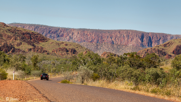
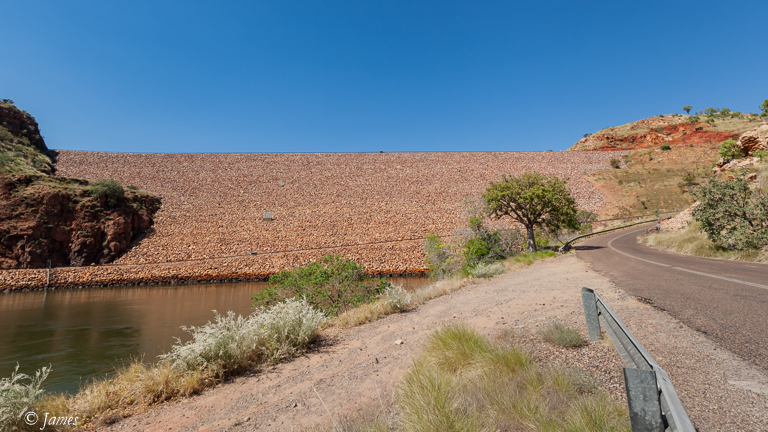
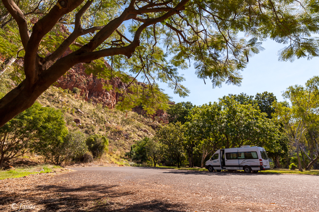
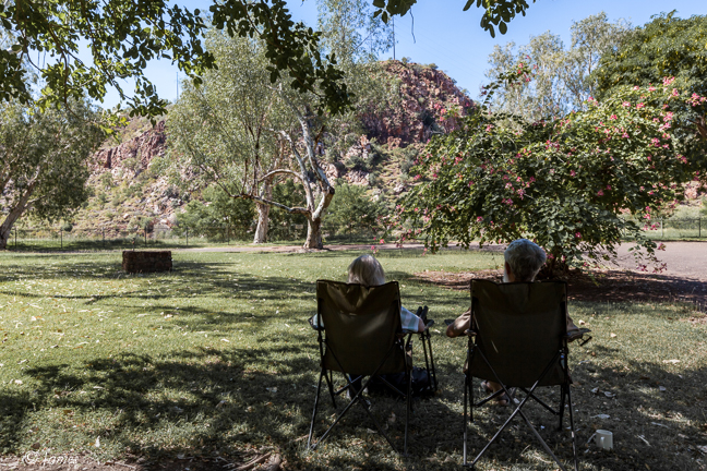
The dam wall is earth with stone facing, quite imposing from the base (a car is in the middle on the top in the photos). Overflow water is diverted into the Gascoyne tributary. The lake provides fishing and tourist cruises. We drove over the wall, down the western side to enjoy lunch in the small shady park before returning to the caravan park which also supplies meals.
All that remained was a grocery stop in town, then to get the 4×4 at the airport; tomorrow we visit the much-hyped expensive El Questro, and cross the Pentecost River for a sunset view of the Coburn Range to the east. I was assured the Pajero will be adequate for the dirt road and crossing.
